
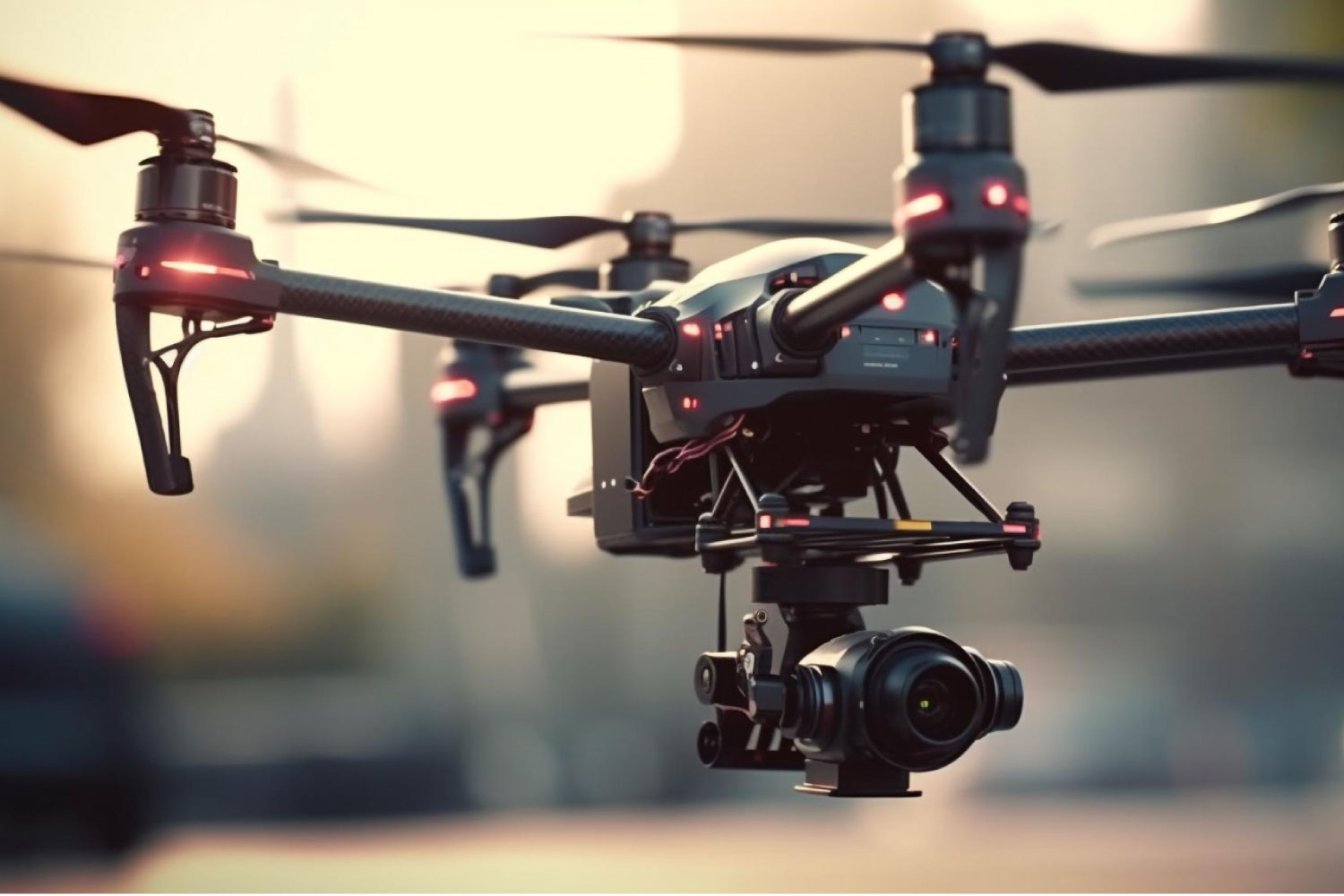
At DRONECTOR, we believe technology should serve humanity. Our recent partnership with a local NGO in rural Kenya exemplifies this commitment. Utilizing our advanced mapping drones, we conducted high-resolution aerial surveys of remote villages, providing crucial data for infrastructure planning, resource allocation, and disaster preparedness. This initiative helped identify optimal locations for new water boreholes and improved road networks, directly impacting thousands of lives. The precision and speed of drone-based mapping significantly reduced project timelines and costs compared to traditional methods. This project underscores our dedication to community impact and leveraging drone technology for social good, aligning with our vision for a prosperous and connected Africa. We are actively seeking more partnerships to expand our reach and positive influence.
- +254 758 466 693
- info@dronector.com
- Mon - Fri : 8:00AM - 5:00PM