Solutions That Soar Professional Drone Services

OUR SERVICES

Advanced Drone Solutions for Real-World Challenges

At Dronector, we deliver professional UAV services and customised drone solutions that help businesses and industries operate more efficiently. From aerial surveying and agricultural applications to infrastructure inspections and security support, we harness drone technology to improve data collection, enhance operational visibility, and solve practical challenges across Africa.

Professional UAV Services

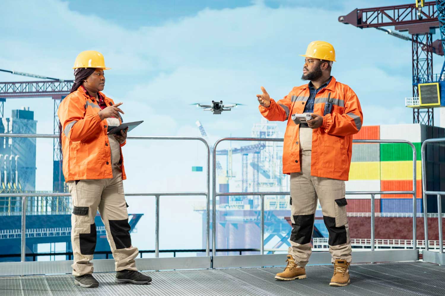
We provide drone-based solutions for agriculture, surveying, mapping, infrastructure inspections, and security applications. Our services help organisations capture valuable aerial data, monitor operations, and make informed decisions.
Career-Focused Skills

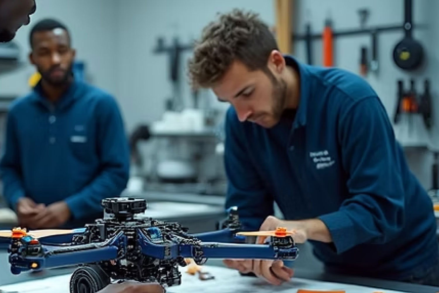
We develop tailored UAV solutions to meet specialised operational requirements. Through drone engineering, payload integration, prototyping, and homegrown innovation, .

Emergency Response & Disaster Relief

We combine drone technology, technical expertise, and innovation to deliver practical solutions for Africa's evolving industries.

Environmental Monitoring & Conservation
Aerial Survey, Data Analytics, Crop Monitoring

Agricultural Precision Mapping

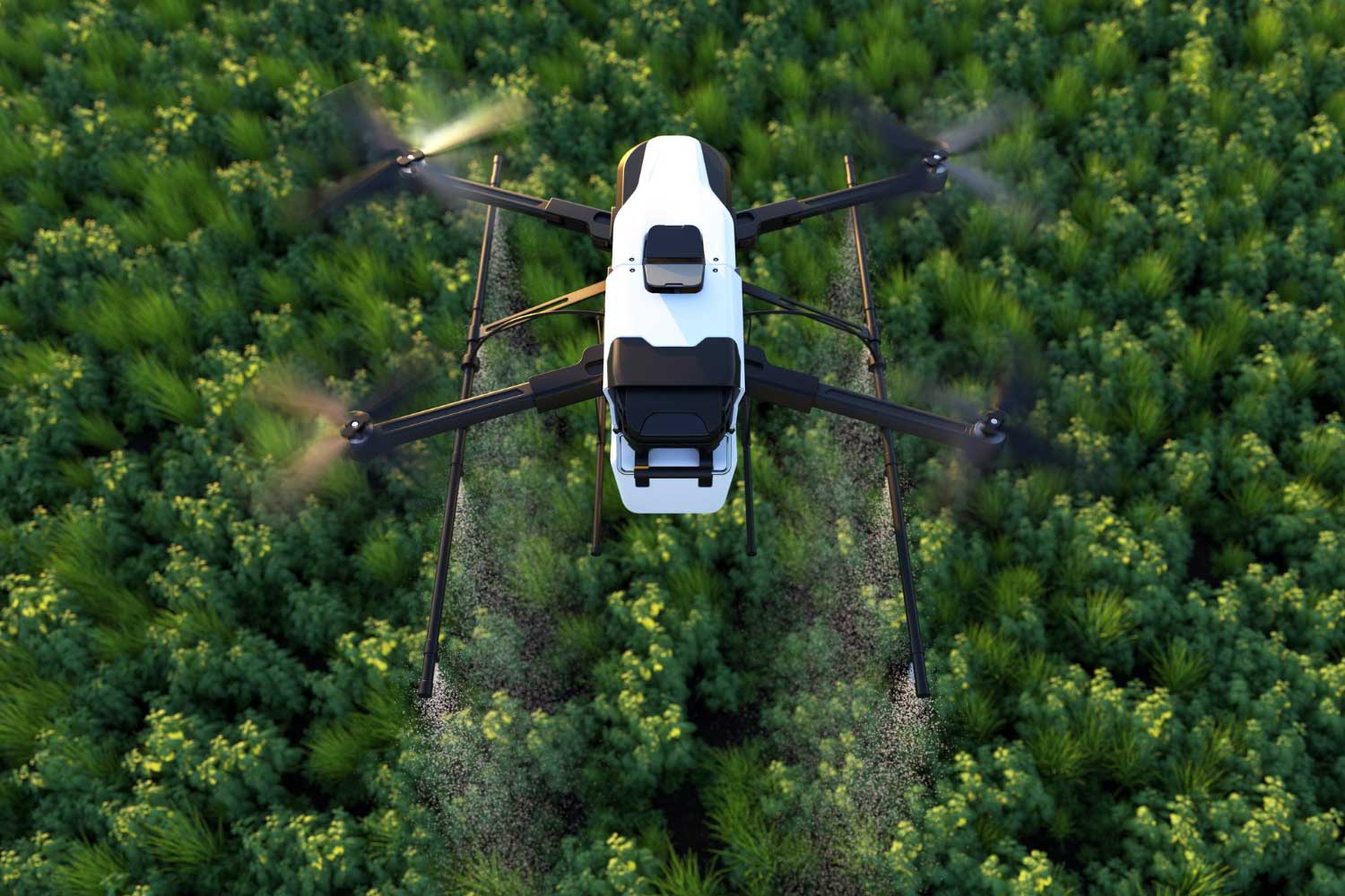
High-resolution aerial mapping for crop health analysis, yield prediction, and optimized resource management, helping farmers maximize productivity and minimize waste across African farmlands.

Critical Infrastructure Inspection
Aerial Inspection, Asset Management, Predictive Maintenance

Critical Infrastructure Inspection

Non-destructive aerial inspections of power lines, pipelines, bridges, and telecommunication towers, identifying defects and maintenance needs safely and efficiently, reducing human risk and downtime.

Environmental Monitoring & Conservation
Surveillance, Data Collection, Mapping, Ecological Assessment

Environmental Monitoring & Conservation

Drone-based solutions for wildlife tracking, anti-poaching surveillance, deforestation mapping, and ecological impact assessments to support vital conservation efforts across Africa.

Environmental Monitoring & Conservation
Aerial Survey, Data Analytics, Crop Monitoring

Agricultural Precision Mapping

High-resolution aerial mapping for crop health analysis, yield prediction, and optimized resource management, helping farmers maximize productivity and minimize waste across African farmlands.

Critical Infrastructure Inspection
Aerial Inspection, Asset Management, Predictive Maintenance

Critical Infrastructure Inspection

Non-destructive aerial inspections of power lines, pipelines, bridges, and telecommunication towers, identifying defects and maintenance needs safely and efficiently, reducing human risk and downtime.

Emergency Response & Disaster Relief
Search & Rescue, Logistics, Situational Awareness, Damage Assessment

Emergency Response & Disaster Relief

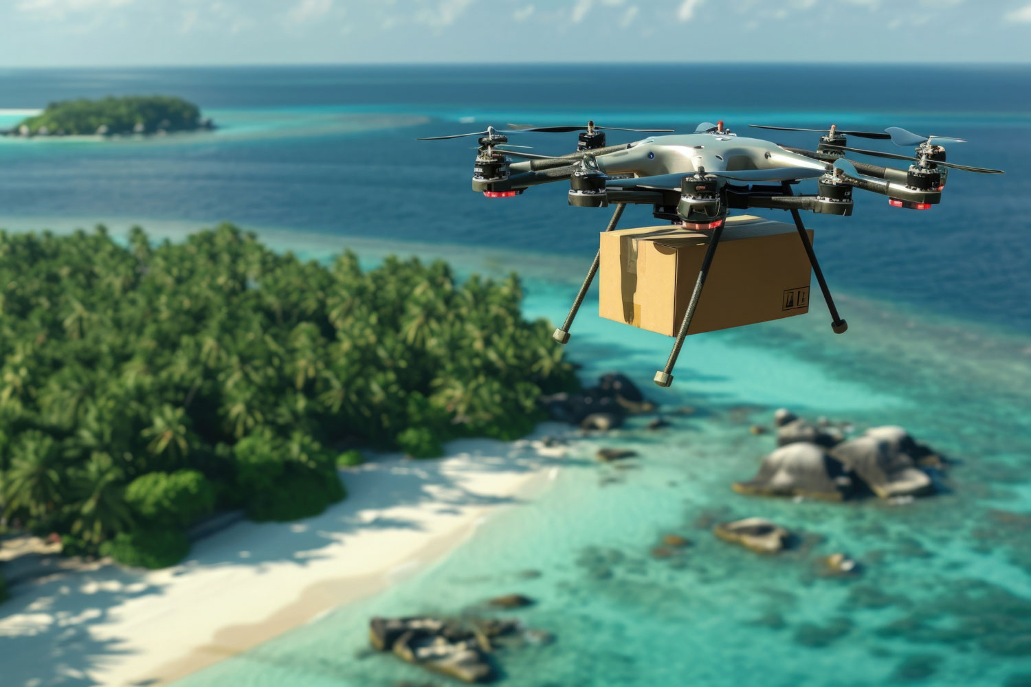
Rapid deployment of drones for search and rescue operations, damage assessment, delivery of critical supplies, and real-time situational awareness in disaster-stricken areas across the continent.

Construction Site Progress Monitoring
Project Management, 3D Modeling, Mapping, Volumetric Analysis

Construction Site Progress Monitoring

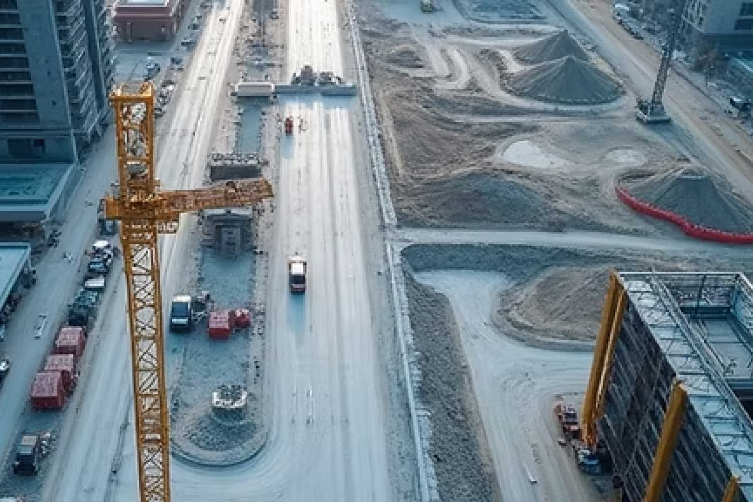
Regular aerial surveys and 3D modeling to track construction progress, manage resources, ensure safety compliance, and provide accurate volumetric measurements for earthworks and material stockpiles.

Mining & Quarry Surveying
Custom Engineering, R&D, Prototyping, System Integration

Mining & Quarry Surveying

Accurate volumetric calculations, pit mapping, stockpile management, and geological surveys for mining operations, improving efficiency, safety, and resource planning.

Media Production, Visual Content Creation, Storytelling

Aerial Cinematography & Photography

Stunning high-definition aerial footage and photography for film production, advertising, tourism promotion, and event coverage, capturing unique perspectives of Africa’s landscapes and events.

Custom Engineering, R&D, Prototyping, System Integration

Customized UAV Solution Development

Design, prototyping, and deployment of bespoke drone systems tailored to specific client needs, from specialized sensor integration to unique payload delivery mechanisms, fostering homegrown innovation.