
Services

Critical Infrastructure Inspection
Inspection

Critical Infrastructure Inspection

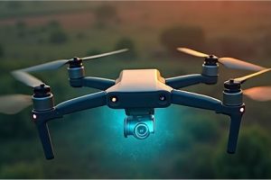
Service Overview Non-destructive aerial inspections of power lines, pipelines, bridges, and telecommunication towers, identifying defects and maintenance needs safely and efficiently, reducing human risk and downtime. Technical Specifications Thermal imaging, High-zoom optical cameras, LiDAR scanning, AI-driven defect detection, BVLOS capabilities, detailed reporting.
Read More »
Agricultural Precision Mapping
Aerial

Agricultural Precision Mapping

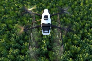
Service Overview High-resolution aerial mapping for crop health analysis, yield prediction, and optimized resource management, helping farmers maximize productivity and minimize waste across African farmlands. Technical Specifications RTK/PPK GPS accuracy, Multispectral/Hyperspectral sensors, AI-powered data processing, up to 500 acres/day coverage, compatible with major agricultural software.

Read More »
Construction Site Progress Monitoring
Inspection

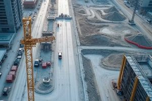
Construction Site Progress Monitoring

Service Overview Regular aerial surveys and 3D modeling to track construction progress, manage resources, ensure safety compliance, and provide accurate volumetric measurements for earthworks and material stockpiles. Technical Specifications High-resolution RGB cameras, Photogrammetry software, Cloud-based data platforms, Weekly/Bi-weekly flight schedules, CAD integration.

Read More »
Environmental Monitoring & Conservation
All

Environmental Monitoring & Conservation

Service Overview Drone-based solutions for wildlife tracking, anti-poaching surveillance, deforestation mapping, and ecological impact assessments to support vital conservation efforts across Africa. Technical Specifications Long-endurance UAVs, Thermal/Night vision cameras, Acoustic sensors, Real-time data streaming, GIS integration, discreet operation.

Read More »
Mining & Quarry Surveying
Services

Mining & Quarry Surveying

Service Overview Accurate volumetric calculations, pit mapping, stockpile management, and geological surveys for mining operations, improving efficiency, safety, and resource planning. Technical Specifications LiDAR sensors, High-accuracy GPS, 3D point cloud generation, Georeferenced orthomosaics, Regular site monitoring, robust data security.

Read More »
Emergency Response & Disaster Relief
Aerial

Emergency Response & Disaster Relief

Service Overview Rapid deployment of drones for search and rescue operations, damage assessment, delivery of critical supplies, and real-time situational awareness in disaster-stricken areas across the continent. Technical Specifications All-weather drones, Thermal/Zoom cameras, Payload drop systems, Mesh network communication, Rapid deployment kits, long flight times.

Read More »
Custom

Customized UAV Solution Development

Service Overview Design, prototyping, and deployment of bespoke drone systems tailored to specific client needs, from specialized sensor integration to unique payload delivery mechanisms, fostering homegrown innovation. Technical Specifications CAD design, 3D printing, Advanced avionics, Software development, Flight testing & certification, KCAA compliance, modular design.

Read More »
Aerial Cinematography & Photography
Aerial

Aerial Cinematography & Photography

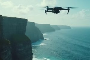
Stunning high-definition aerial footage and photography for film production, advertising, tourism promotion, and event coverage, capturing unique perspectives of Africa’s landscapes and events. Technical Specifications 4K/8K cinema cameras, Stabilized gimbals, Professional drone pilots, Post-production editing, Custom flight paths, creative direction.

Read More »