
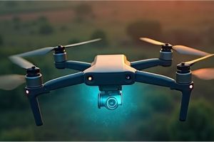
Aerial

Agricultural Precision Mapping
Aerial

Agricultural Precision Mapping

Service Overview High-resolution aerial mapping for crop health analysis, yield prediction, and optimized resource management, helping farmers maximize productivity and minimize waste across African farmlands. Technical Specifications RTK/PPK GPS accuracy, Multispectral/Hyperspectral sensors, AI-powered data processing, up to 500 acres/day coverage, compatible with major agricultural software.


Read More »
Emergency Response & Disaster Relief
Aerial

Emergency Response & Disaster Relief

Service Overview Rapid deployment of drones for search and rescue operations, damage assessment, delivery of critical supplies, and real-time situational awareness in disaster-stricken areas across the continent. Technical Specifications All-weather drones, Thermal/Zoom cameras, Payload drop systems, Mesh network communication, Rapid deployment kits, long flight times.

Read More »
Aerial Cinematography & Photography
Aerial

Aerial Cinematography & Photography

Stunning high-definition aerial footage and photography for film production, advertising, tourism promotion, and event coverage, capturing unique perspectives of Africa’s landscapes and events. Technical Specifications 4K/8K cinema cameras, Stabilized gimbals, Professional drone pilots, Post-production editing, Custom flight paths, creative direction.

Read More »