
Service Overview
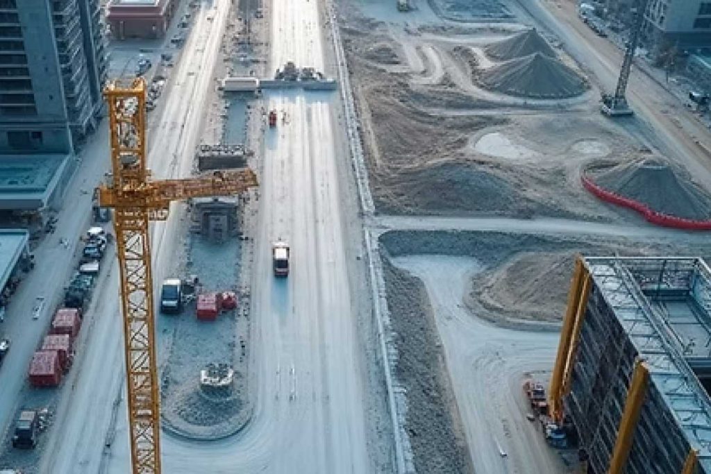
Regular aerial surveys and 3D modeling to track construction progress, manage resources, ensure safety compliance, and provide accurate volumetric measurements for earthworks and material stockpiles.
Technical Specifications
High-resolution RGB cameras, Photogrammetry software, Cloud-based data platforms, Weekly/Bi-weekly flight schedules, CAD integration.